 ar
ar bg
bg hr
hr cs
cs da
da nl
nl fi
fi fr
fr de
de el
el hi
hi it
it ko
ko no
no pl
pl pt
pt ro
ro ru
ru es
es sv
sv tl
tl iw
iw id
id lv
lv lt
lt sr
sr sk
sk sl
sl uk
uk vi
vi et
et hu
hu th
th tr
tr fa
fa ms
ms hy
hy ka
ka ur
ur bn
bn mn
mn ta
ta kk
kk uz
uz ku
ku
GPS Displacement Monitoring System
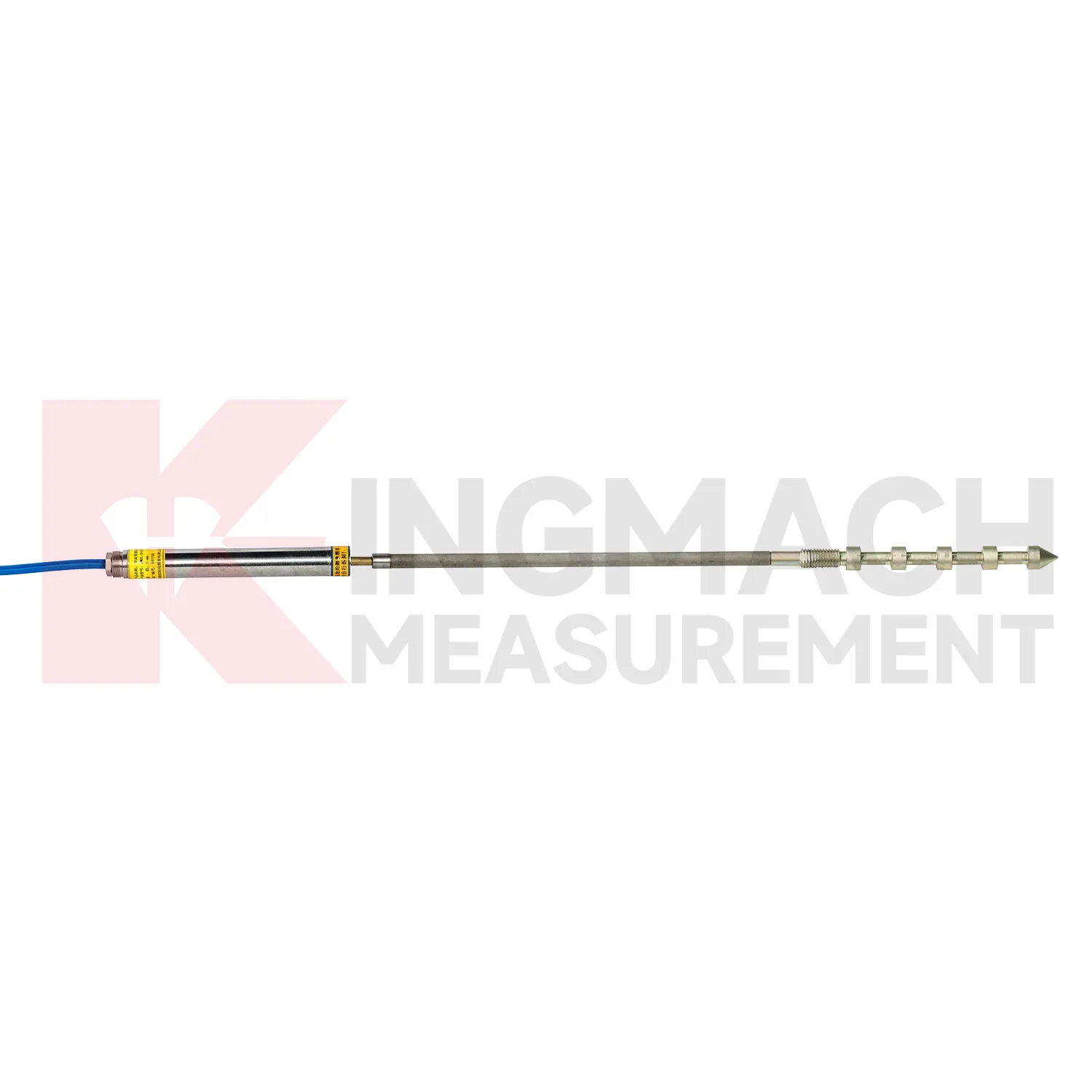
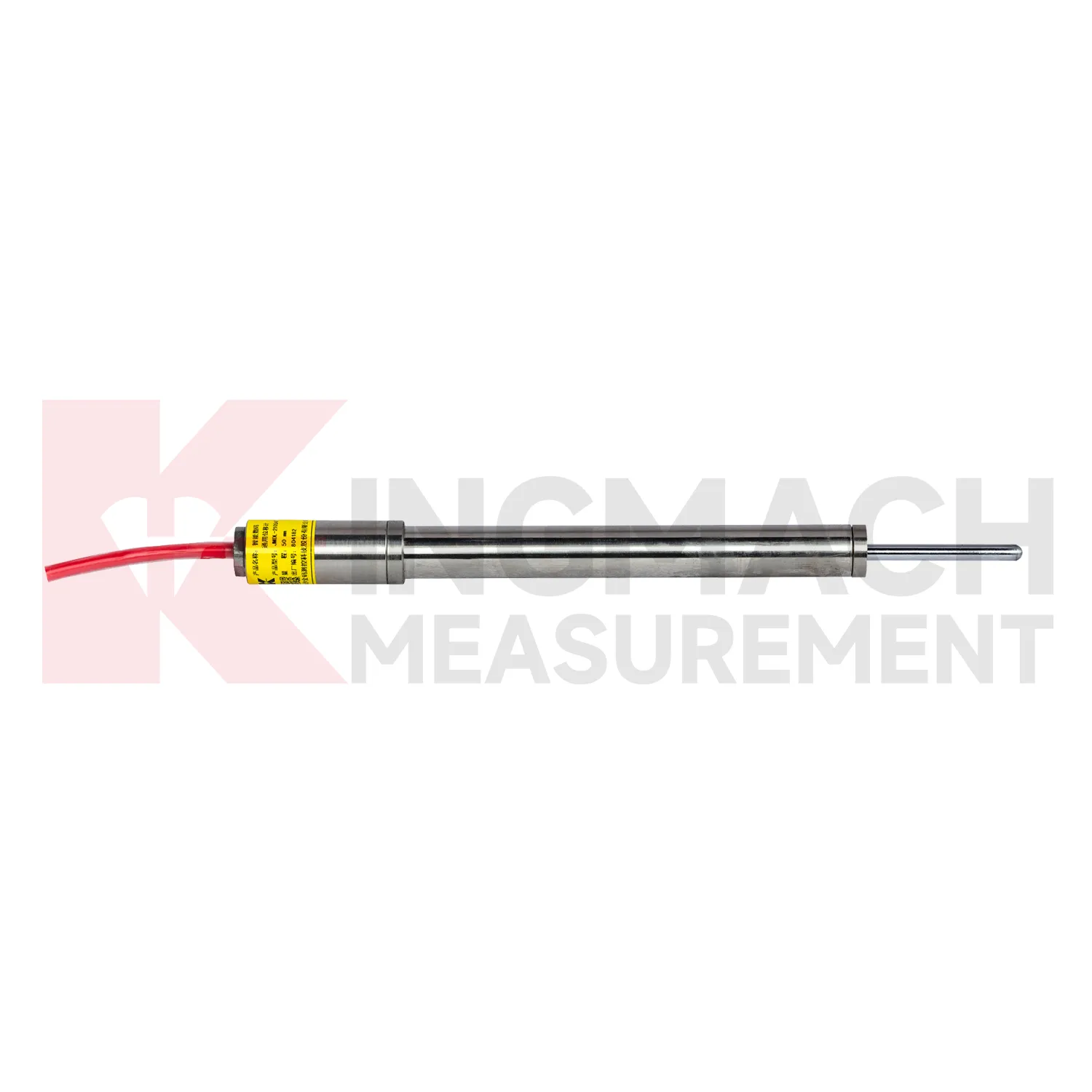
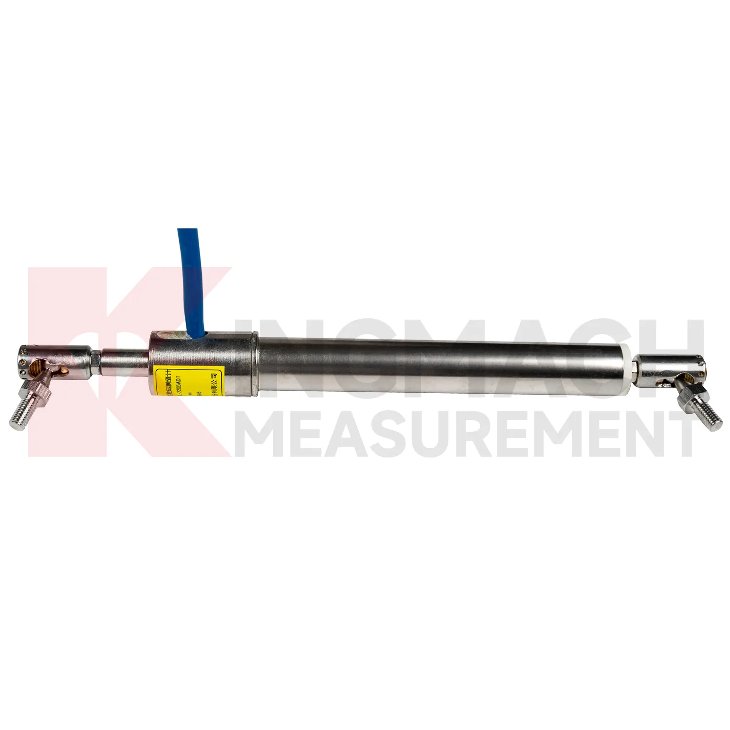
Kingmach GPS Displacement Monitoring System include the JMDL-31XXAT Smart Multipoint Displacement Meter for tunnels, rock slopes, foundation pits, and surrounding rock layers. This product is not used like a surface joint gauge. It is built for boreholes where movement must be separated by depth. The instrument group includes displacement gauges, PVC measuring rod protective tubes, anchor heads, and multipoint installation kits that support three to five points. During installation, the borehole is prepared, anchor heads are set at selected layers, and grouting fixes each anchor to its target rock or soil zone. Listed models include 50 mm, 100 mm, and 200 mm ranges, all with 0.01 mm resolution. The sensing circuit changes output frequency as the measuring rod moves through the coil, so each channel can report how one anchored layer moves relative to the reference head. This layout is useful when tunnel crown movement, slope slip, or foundation pit deformation may start at one depth before it appears elsewhere. Field records should emphasize borehole number, anchor depth, grout condition, channel order, and the direction of expected movement. During later review, engineers can compare shallow and deep anchors to judge whether the deformation is local relaxation, progressive sliding, or full-section movement. That layered view is the main reason to use a multipoint instrument instead of several unrelated surface gauges.
Application of GPS Displacement Monitoring System
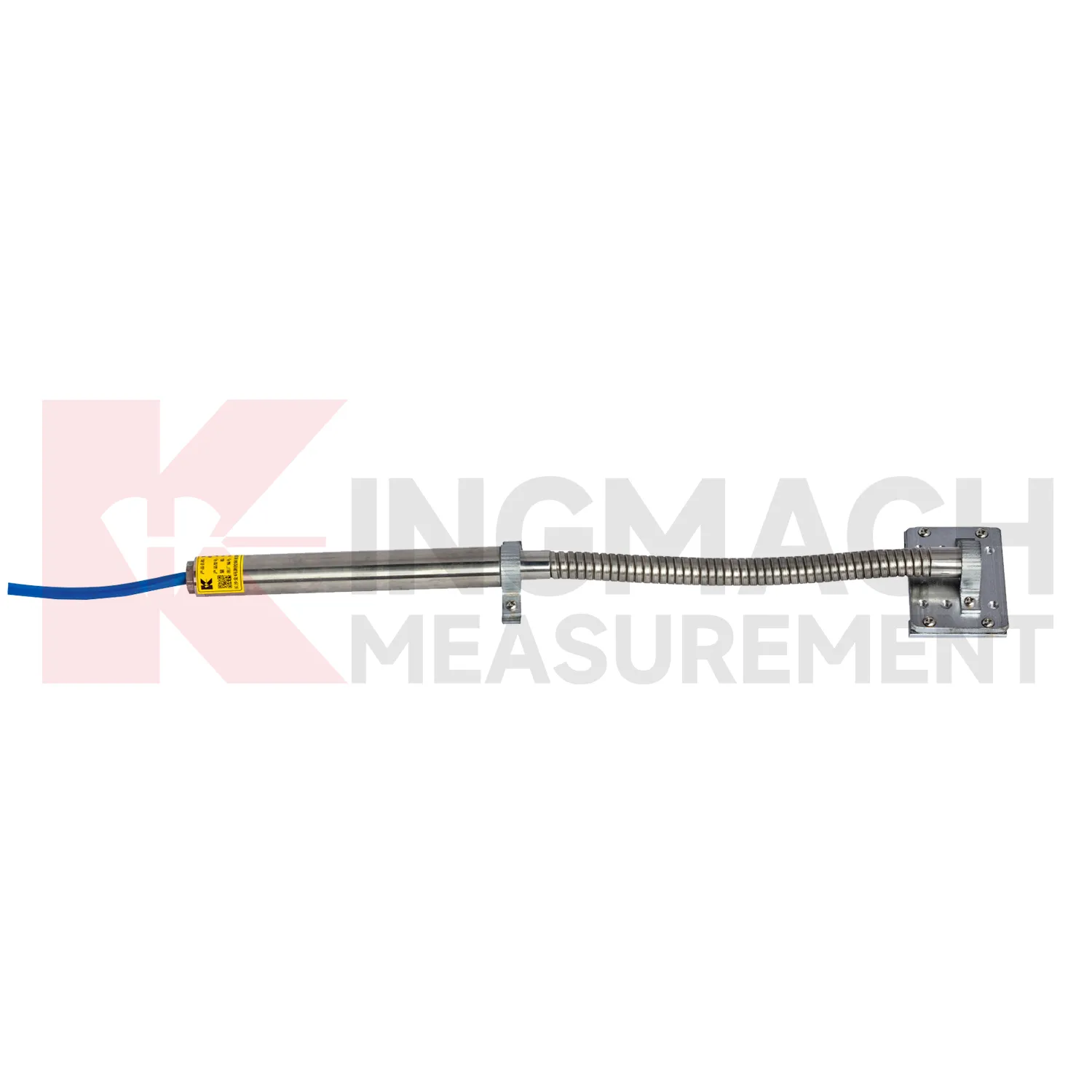
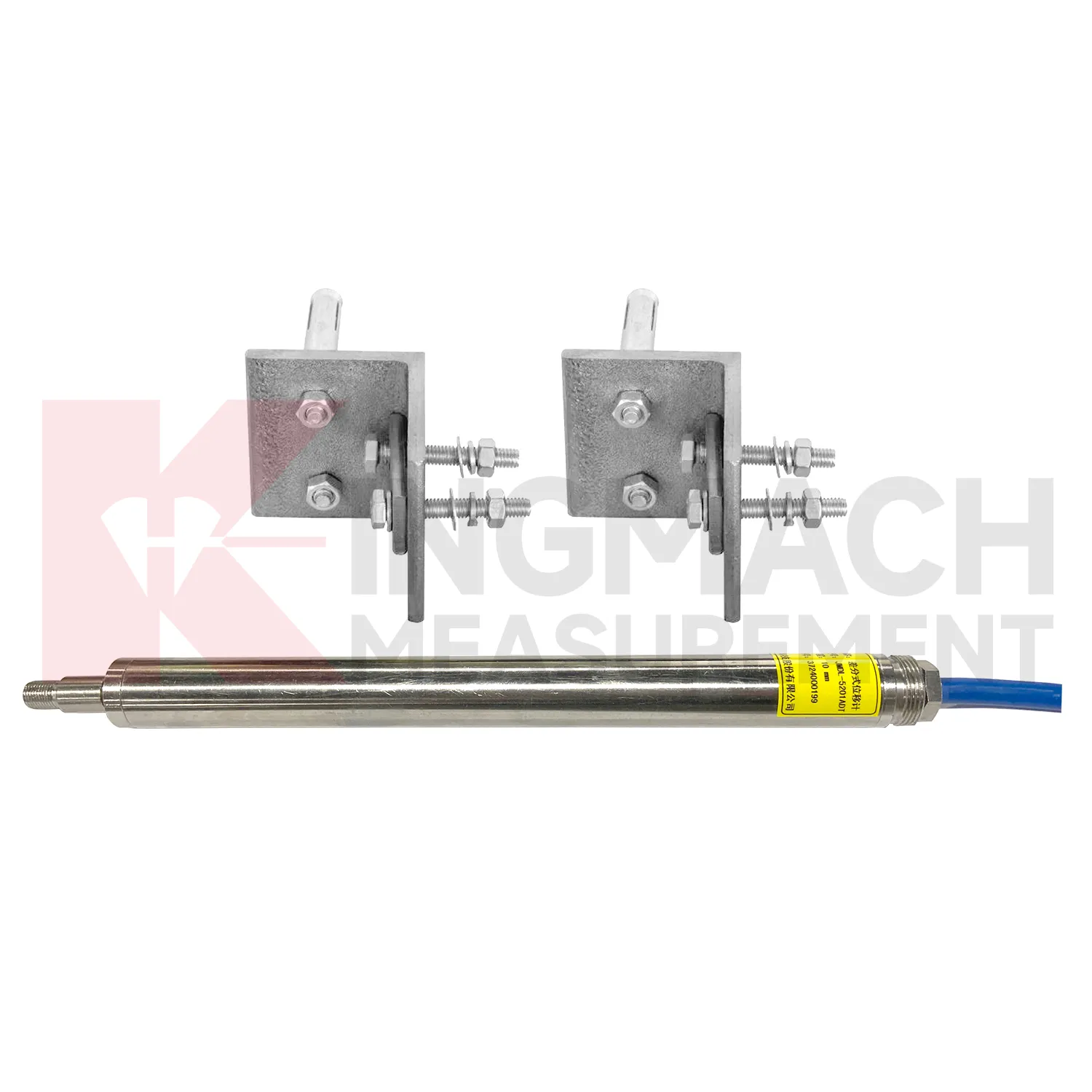
In railway and highway subgrade monitoring, GPS Displacement Monitoring System are used to observe geogrid deformation, embankment movement, track foundation displacement, culvert joint movement, and settlement-related structural shifts. The field problem is that deformation may occur inside reinforced soil or pile-net foundations where visual inspection cannot reach after backfilling. Kingmach JMDL-24XXAT flexible displacement meters are designed for geogrid materials in reinforced soil and pile-net subgrade foundations. The bendable measuring rod can deform with the geogrid, while both ends are clamped using mounting brackets. Listed ranges are 30 mm and 50 mm, with 0.01 mm sensitivity, 0.5%FS accuracy, 20-point curve fitting, and a designed service life up to 30 years. For larger movement, JMLS-22XXADT wire rope sensors and JMDL-49XXAT formwork or steel wire meters can support long-distance displacement monitoring. These readings help maintenance teams connect settlement, traffic load, rainfall, and construction records. During operation, the monitoring team should keep the baseline, temperature, inspection notes, and nearby sensor behavior in the same review file. This makes it easier to tell whether a movement trend comes from normal service, a repair event, changing load, water influence, or developing structural risk. Clear records also help owners decide when a field inspection is needed instead of waiting for visible damage.
The future of GPS Displacement Monitoring System
Longer service life will be a major future requirement for GPS Displacement Monitoring System. Infrastructure owners want monitoring systems that remain useful beyond the construction phase and into operation, inspection, repair, and renewal. Kingmach lists 30-year designed service life on selected products such as the JMDL-24XXAT flexible displacement meter and JMDL-49XXAT formwork displacement meter, while models such as JMCW-21XXADT use non-contact sensing to avoid mechanical wear. Future specifications will likely ask more directly about waterproof rating, connector durability, cable route protection, sensor replacement access, and data continuity after maintenance. For dams, bridges, railways, slopes, and tunnels, a displacement record over several years is often more useful than a short burst of high-frequency data. This long view supports asset management and helps distinguish slow structural change from normal seasonal movement. The next improvement will be planned service records: expected inspection intervals, spare part notes, replacement dates, and clear links between old and new baselines after a sensor is changed.
Care & Maintenance of GPS Displacement Monitoring System
For long-term GPS Displacement Monitoring System, maintenance should focus on trend credibility rather than only sensor survival. Review baseline drift, sudden jumps, flat lines, missing data, temperature influence, and disagreement between nearby points. A flat line may mean no movement, but it may also mean a stuck cable, broken rod, frozen channel, or communication failure. A sudden jump may be real deformation, but it may also follow bracket impact, cabinet work, lightning, or power cycling. Kingmach products with stored measurement records, calibration coefficients, zero values, and digital communication help with diagnosis, but field notes remain important. Inspect waterproof seals, cable glands, brackets, anchor heads, cabinets, grounding, and channel labels at planned intervals. Keep displacement data linked with photos, inspection comments, rainfall, water level, construction events, and nearby sensor readings so engineers can trust the long-term movement history. Keep the installation photo, point number, zero value, and expected movement direction with the commissioning record for later review. If a reading changes after maintenance work, inspect the base, anchor, cable, and cabinet before assuming the structure itself has moved.
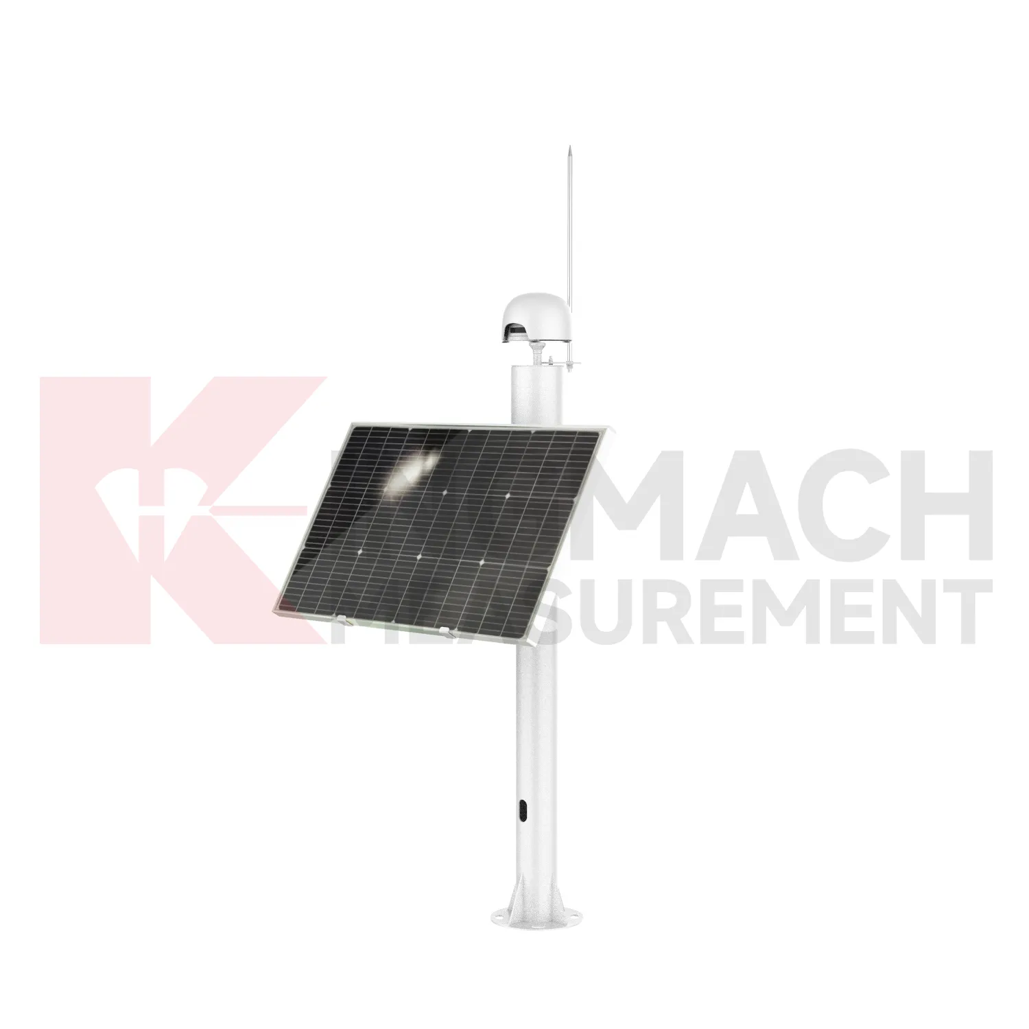
Kingmach GPS Displacement Monitoring System
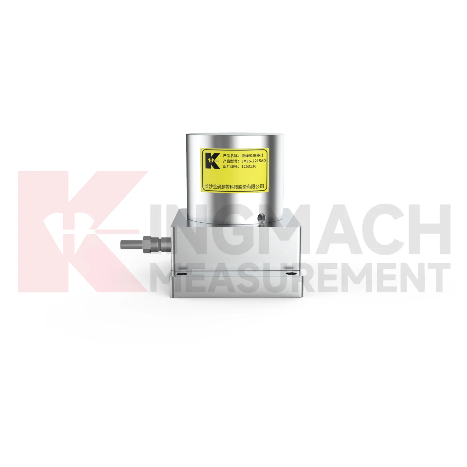
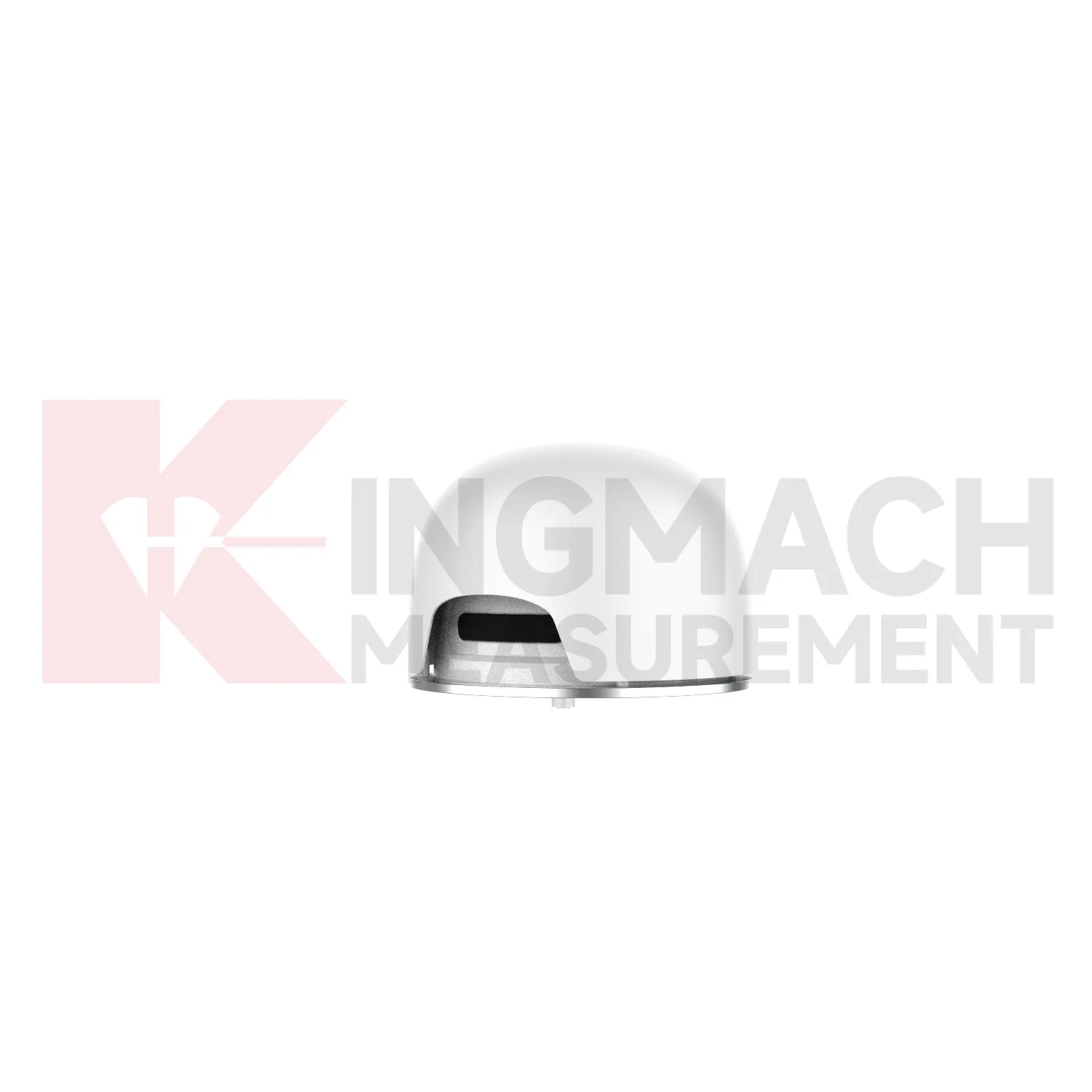
GPS Displacement Monitoring System help engineers separate normal movement from structural risk. A bridge expansion joint may move with temperature, a tunnel lining may shift after excavation, and a slope may creep slowly before an alarm condition appears. Kingmach displacement products use several sensing routes, including inductive frequency modulation, differential coil measurement, magnetostrictive sensing, draw-wire conversion, and GNSS-based displacement tracking. Ranges can start at 20 mm for joint monitoring and extend to 2000 mm for draw-wire applications, while selected smart models store model data, serial numbers, calibration coefficients, zero values, temperature, and hundreds of measurement records. This makes the reading easier to trace during acceptance, maintenance, and later review. For a project buyer, the practical question is whether the movement point is exposed, embedded, multi-depth, long-distance, waterproof, or tied to geogrid. Kingmach provides different forms for those different site conditions. The point should be named on the drawing, linked with its cable route, and checked against the expected movement direction before the first automatic reading is accepted. For daily review, the reading should be compared with nearby points, recent weather, site operations, and any loading event that could explain the movement.
FAQ
Q: Which GPS Displacement Monitoring System are used for rock layers or bedrock?
A: JMDL-31XXAT multipoint meters are used for different surrounding rock layers, while JMDL-32XXAT single-point bedrock meters are used for tunnel rock mass, dam bedrock, slope, or foundation pit movement.
Q: How many points can the multipoint meter support?
A: The multipoint installation kit supports three to five monitoring points, with anchor heads fixed at different depths by drilling and grouting.
Q: What ranges are listed for these models?
A: Both JMDL-31XXAT and JMDL-32XXAT list 50 mm, 100 mm, and 200 mm models with 0.01 mm resolution.
Q: Why monitor several depths?
A: Different layers may move differently. Separating shallow and deep movement helps engineers judge whether the problem is surface creep, deeper rock slip, or overall mass movement.
Q: What records should be kept?
A: Keep drilling depth, anchor location, grouting date, channel name, zero value, cable route, and first stable reading.
Reviews
James Thompson
The tiltmeters and accelerometers are very sensitive and provide precise data. Perfect for our structural health monitoring system.
Christopher Martinez
Very satisfied with the readouts & data loggers. User-friendly interface and supports multiple sensor inputs.
Latest Inquiries
To protect the privacy of our buyers, only public service email domains like Gmail, Yahoo, and MSN will be displayed. Additionally, only a limited portion of the inquiry content will be shown.
Sophia***@gmail.comUnited Kingdom
Good day, we need environmental monitoring sensors including temperature, humidity, and wind sensors...
Amelia***@gmail.comSingapore
Hello, I am looking for visualization software for monitoring system data analysis. Please let me kn...