
 EN
EN
 ar
ar bg
bg hr
hr cs
cs da
da nl
nl fi
fi fr
fr de
de el
el hi
hi it
it ko
ko no
no pl
pl pt
pt ro
ro ru
ru es
es sv
sv tl
tl iw
iw id
id lv
lv lt
lt sr
sr sk
sk sl
sl uk
uk vi
vi et
et hu
hu th
th tr
tr fa
fa ms
ms hy
hy ka
ka ur
ur bn
bn mn
mn ta
ta kk
kk uz
uz ku
ku
hydrostatic level sensor
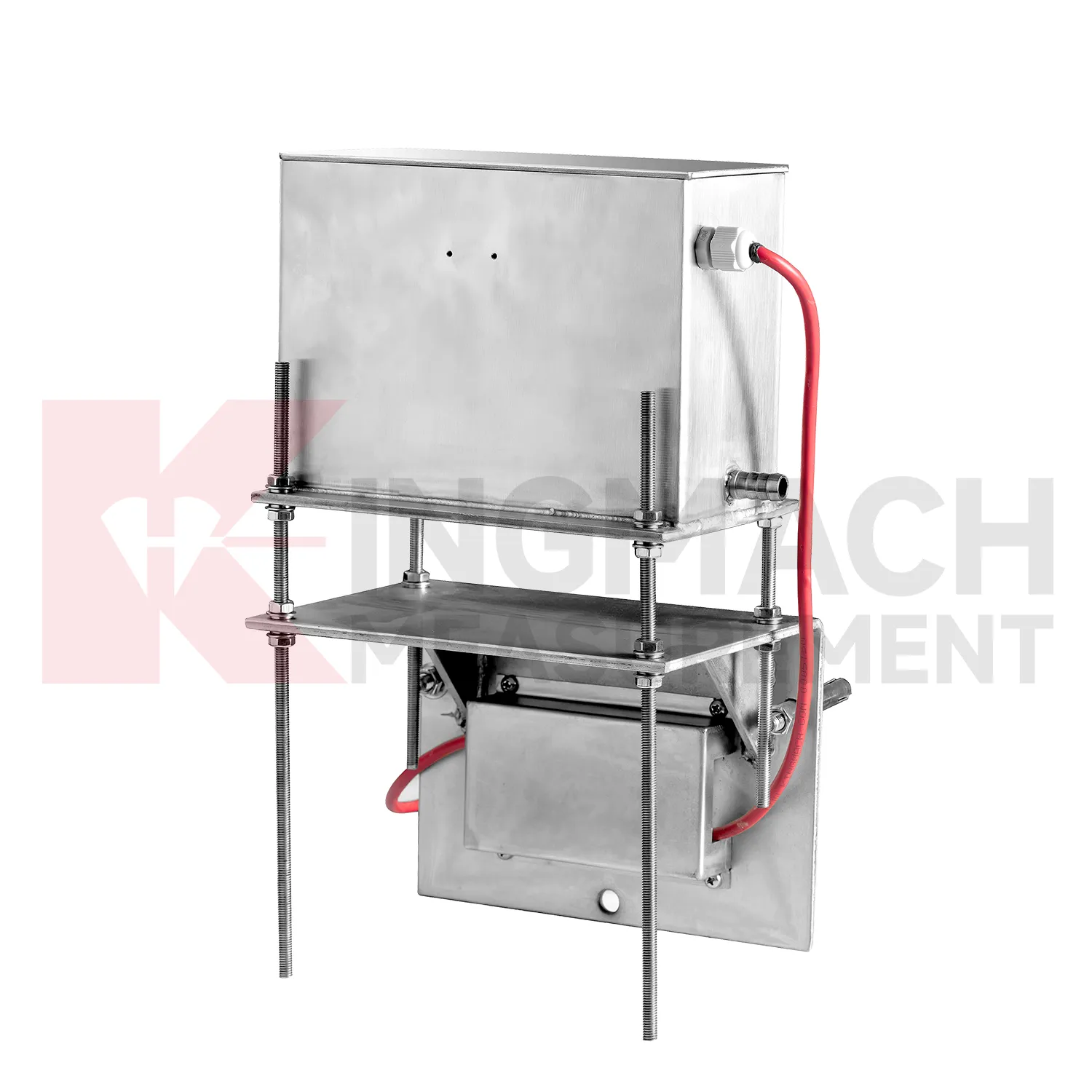
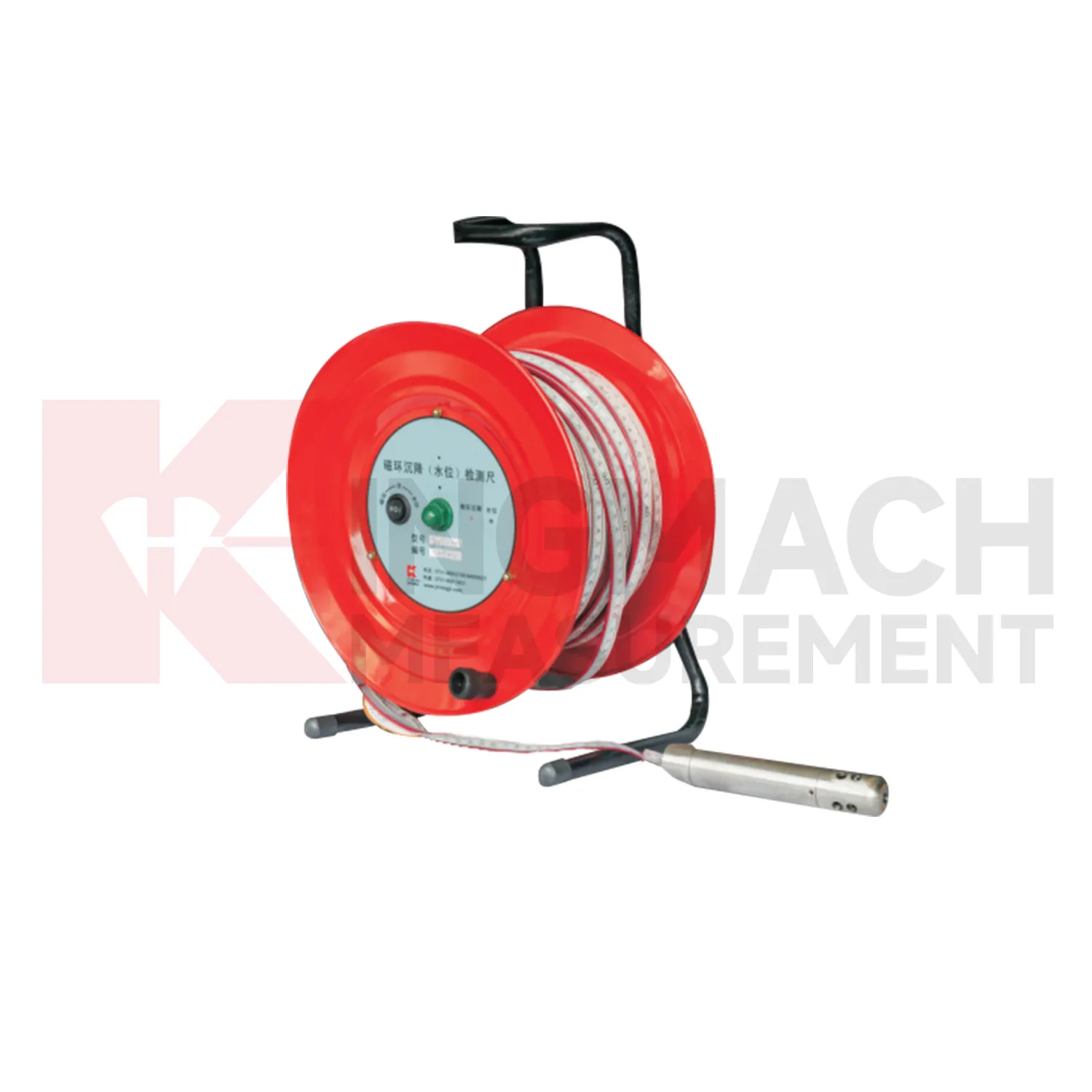
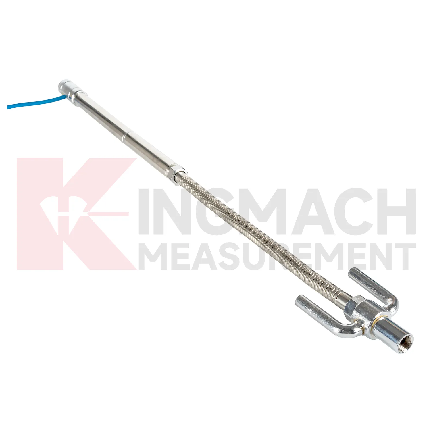
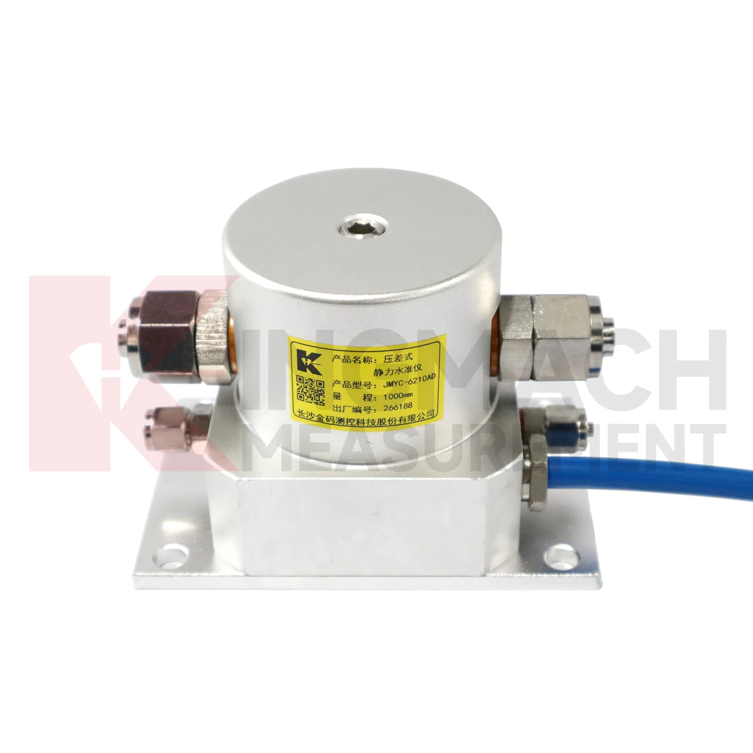
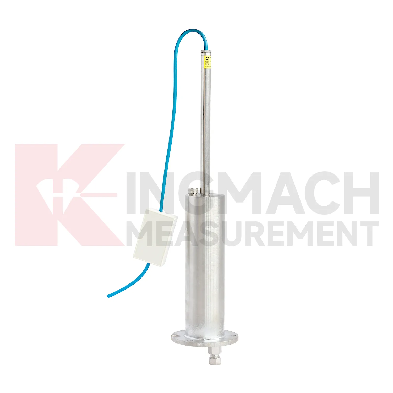
Selecting Kingmach hydrostatic level sensor begins with the scale and shape of expected movement. A single embedded point, a hydrostatic comparison line, a wide-range profile, and a magnetic ring borehole answer different questions. JMDL-47XXAT covers 100 mm to 400 mm embedded settlement. JMDL-62XXADT and JMQJ-62XXADT provide 0.01 mm hydrostatic resolution for smaller vertical changes. JMYC-62XXAD covers 500 mm to 4000 mm with 0.1 mm resolution and 0.2%FS accuracy for larger movement. JMCJ-1003/1005 provides plus or minus 1 mm depth reading for magnetic ring settlement and water level checks. Selection should consider whether the structure will remain accessible, whether groundwater is part of the risk, whether automatic collection is required, and whether the reference point can remain stable for the full observation period. A short-range high-resolution instrument is not automatically better if the site may move beyond its travel. A large-range system is not always best if the project needs very small early warnings.
Application of hydrostatic level sensor
Integrated structural health monitoring uses hydrostatic level sensor as the vertical deformation layer within a larger data set. Settlement rarely explains a site by itself; it usually needs to be read with tilt, strain, load, pore pressure, displacement, water level, rainfall, vibration, and inspection findings. Kingmach settlement products support several measurement styles, including embedded single-point gauges for foundations and subgrades, hydrostatic level sensors for multi-point comparison, wide-range differential pressure instruments for long profiles, and magnetic ring gauges for layered soil observation. Before installation, each point should have a reason: a pier bearing seat, a soft ground section, a basement wall, a tunnel invert, or a dam gallery position. The alarm logic should then match that reason, not just a generic number. For example, a slow uniform drift across all hydrostatic channels may mean something different from one local point moving against a steady reference. A well organized system keeps channel names, drawings, baselines, thresholds, and inspection duties connected so the team can act on the signal instead of debating where it came from.
The future of hydrostatic level sensor
Data fusion will define the future role of hydrostatic level sensor in structural health monitoring. Settlement should be reviewed beside displacement, tilt, strain, load, pore pressure, rainfall, vibration, and water level data. For example, a subgrade settlement trend may be more meaningful when rainfall and traffic loading are visible. A foundation pit uplift reading may need groundwater and support force context. A bridge deflection reading may need temperature and bearing information. Kingmach settlement products can provide the vertical movement layer in this wider record. When different sensor types are reviewed together, warnings can be based on relationships rather than a single number. That helps engineers prioritize site checks and avoid overreacting to harmless movement or missing linked changes across several instruments. Future platforms should make these relationships easy to review without hiding the raw settlement readings.
Care & Maintenance of hydrostatic level sensor
Care and maintenance of hydrostatic level sensor should begin before the first sensor is installed. Confirm whether the location needs an embedded single-point gauge, a hydrostatic leveling sensor, a wide-range differential pressure system, or a magnetic ring settlement water level gauge. Kingmach JMDL-47XXAT covers 100 mm to 400 mm embedded ranges, while JMYC-62XXAD covers larger 500 mm to 4000 mm hydrostatic ranges. Choosing the wrong range can shorten the useful life of the point or hide small early movement. The project file should record model, range, structure name, point elevation, expected movement direction, reference point, cable or tube route, and first stable value. During later checks, compare actual movement with the construction stage and nearby instruments. If a value approaches the end of travel, plan verification before the sensor saturates. Range management is maintenance because it protects the continuity of the settlement record.
Kingmach hydrostatic level sensor
Hydrostatic hydrostatic level sensor are useful when several vertical movement points must be compared against a reference rather than read as isolated values. Kingmach JMDL-62XXADT and JMQJ-62XXADT use connected liquid paths and digital output to monitor vertical deformation in structures such as bridges, dams, tunnels, large buildings, and subgrades. The JMDL-62XXADT lists 50 mm, 100 mm, and 200 mm ranges with 0.01 mm resolution and RS485 output. The JMQJ-62XXADT micro range hydrostatic level sensor lists 50 mm and 100 mm ranges, 0.01 mm resolution, RS485 signal, and IP68 protection. These products are most useful when the tube route, reference point, cabinet, and baseline are documented clearly. If the reference is unstable, every curve downstream becomes harder to trust. A good point record also names the reference location, installation elevation, data channel, and maintenance access so later readings can be checked without guesswork. A good point record also names the reference location, installation elevation, data channel, and maintenance access so later readings can be checked without guesswork.
FAQ
Q: What does JMDL-47XXAT measure?
A: It measures in-situ subgrade settlement, embankment heave, foundation pit base uplift, tunnel bottom uplift, dyke compression, and pile foundation settlement.
Q: What ranges are listed for JMDL-47XXAT?
A: The listed ranges are 100 mm, 200 mm, 300 mm, and 400 mm, with 0.01 mm resolution on the 100 and 200 mm models and 0.1 mm on larger models.
Q: How is the gauge installed?
A: It uses a settlement plate, electrical displacement sensor, measuring rod, metal flexible conduit, anchor head, extension rod, and bottom anchor head.
Q: Can traffic operation continue during monitoring?
A: The side-exit cable routing is designed to avoid interference with pavement compaction and can support monitoring during traffic operation when installed correctly.
Q: What should be recorded during installation?
A: Record plate position, anchor depth, extension length, cable route, baseline, model, range, and construction stage.
Reviews
Michael Anderson
The strain gauges and load cells are extremely accurate and stable. They performed very well in our bridge monitoring project. Highly recommended!
David Wilson
We purchased displacement transducers and settlement sensors, and the quality exceeded our expectations. Easy installation and reliable performance.
Latest Inquiries
To protect the privacy of our buyers, only public service email domains like Gmail, Yahoo, and MSN will be displayed. Additionally, only a limited portion of the inquiry content will be shown.
Mia***@gmail.comNetherlands
Dear team, we are interested in your readouts & data loggers compatible with multiple sensors. Do yo...
Emma***@gmail.comCanada
Dear Sir/Madam, we are interested in displacement transducers and settlement sensors for a geotechni...