
 EN
EN
 ar
ar bg
bg hr
hr cs
cs da
da nl
nl fi
fi fr
fr de
de el
el hi
hi it
it ko
ko no
no pl
pl pt
pt ro
ro ru
ru es
es sv
sv tl
tl iw
iw id
id lv
lv lt
lt sr
sr sk
sk sl
sl uk
uk vi
vi et
et hu
hu th
th tr
tr fa
fa ms
ms hy
hy ka
ka ur
ur bn
bn mn
mn ta
ta kk
kk uz
uz ku
ku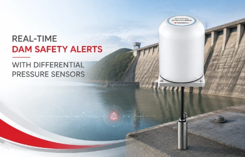
Real-Time Dam Safety Alerts with Differential Pressure Water Level Sensors
Key Takeaways An alert chain needs more than a sensor: define field in...

GPS Displacement Monitoring System for Critical Infrastructure
Slope failures and structural shifts rarely announce themselves. A few centimeters of movement can put a dam, bridge, or mine wall at risk, and catching that early is what separates a controlled repair from a disaster. A GPS displacement monitoring system gives engineers the continuous data they need to spot trouble before it escalates. Kingmach designs these systems for long-term, unattended operation in tough environments—where dust, rain, and temperature swings are part of the job. Instead of periodic manual surveys, teams get automated alerts and 24/7 visibility into deformation patterns. This page covers how the technology works, where it applies, and what to look for when choosing a system that fits your site.
Technical Detail
Kingmach's GPS displacement monitoring system turns satellite positioning into actionable safety intelligence. It tracks horizontal and vertical movements on structures like retaining walls, landslides, open-pit mines, and tailings dams. Each monitoring station typically includes a high-precision GNSS receiver, a geodetic antenna, and a power and communication module—often solar-powered with cellular or radio telemetry. The system logs sub-centimeter displacements and streams them to a software platform where users can set threshold alarms and visualize trends. This replaces infrequent, labor-intensive surveying with continuous, objective records. The hardware is built for outdoor durability: weatherproof enclosures, surge protection, and rugged mounting options. For challenging sites without clear sky view, Kingmach can integrate additional sensors such as in-place inclinometers or tiltmeters to capture local rotations. The company's engineering team supports everything from network design to data interpretation, and custom configurations are available for projects that don't fit off-the-shelf kits. Global projects benefit from a distribution network that ensures prompt delivery and local technical assistance. Whether you're monitoring a single critical slope or a network of dozens of points, the system scales without requiring a complete overhaul.
News
Key Takeaways An alert chain needs more than a sensor: define field in...
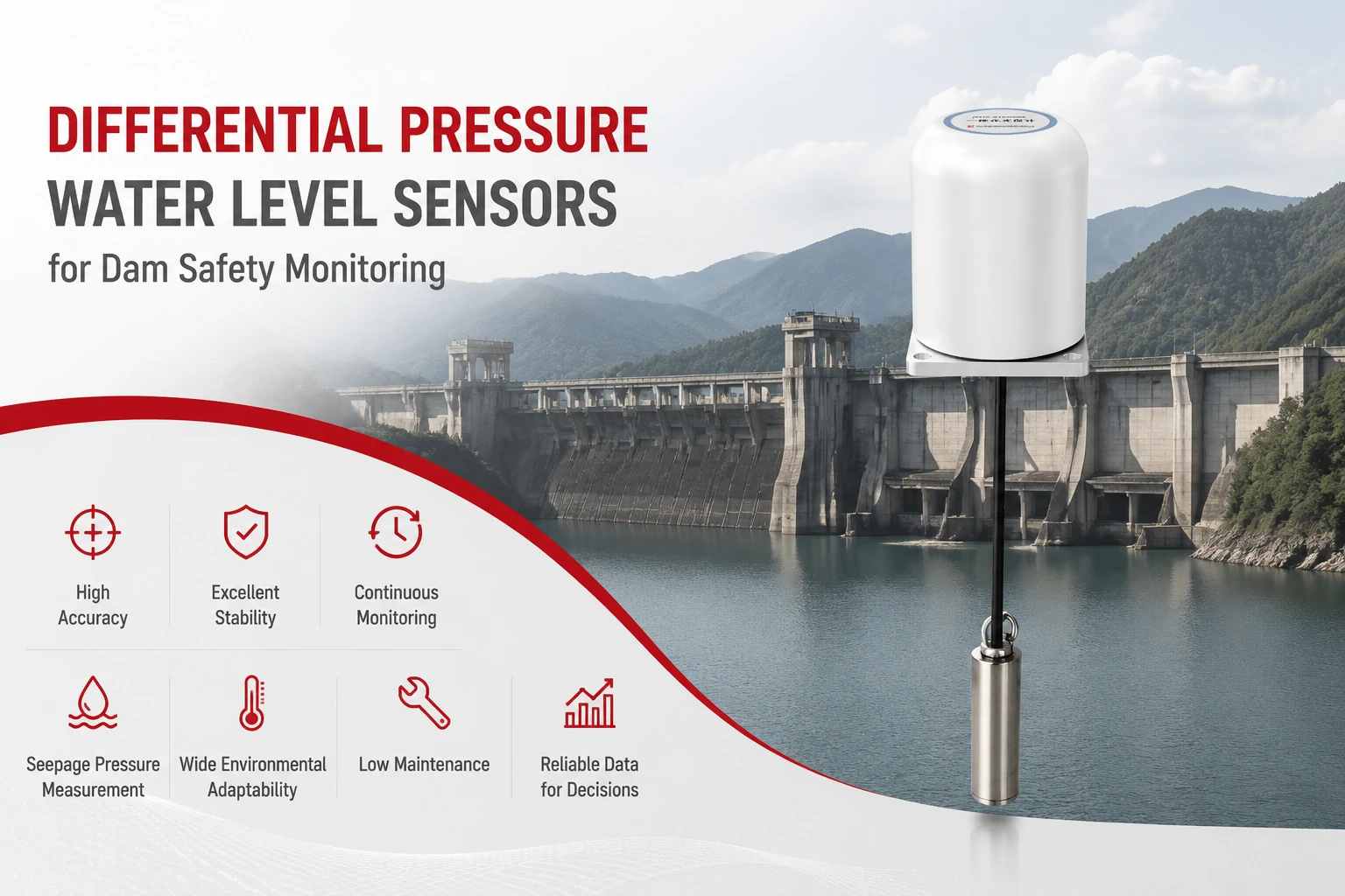
Key Takeaways The strongest fit is usually a confined, submerged, or s...
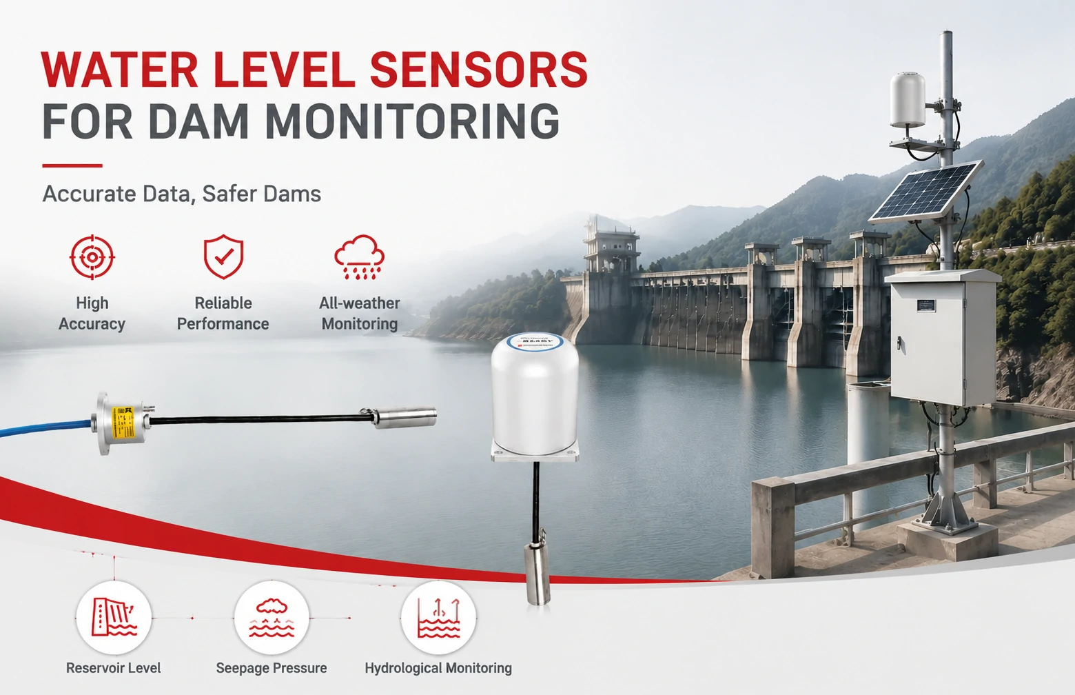
Kingmach Water Level Sensors for Dam Monitoring: A Buyer's Guide to Differential Pre...
Products
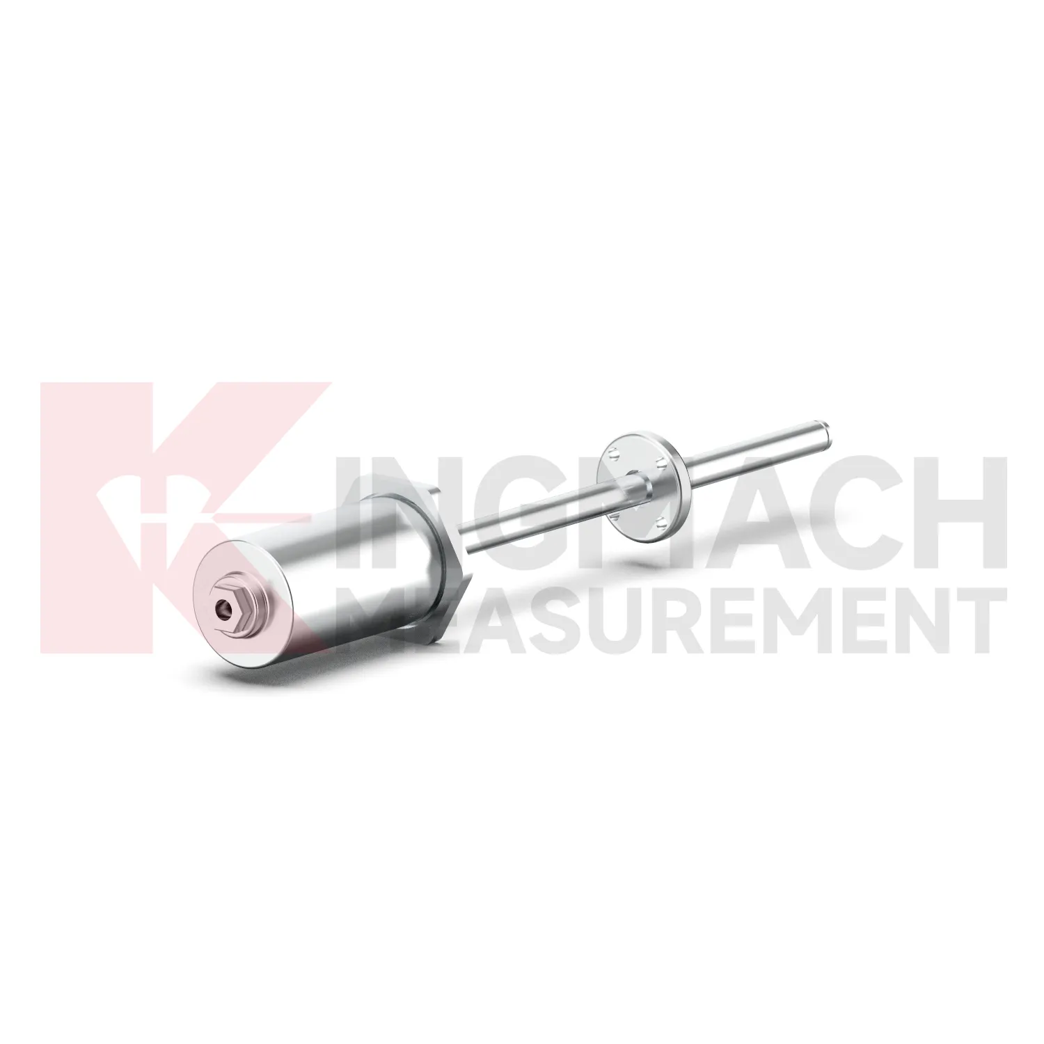
Magnetostrictive Displacement Meter JMCW-21XXADT
View Details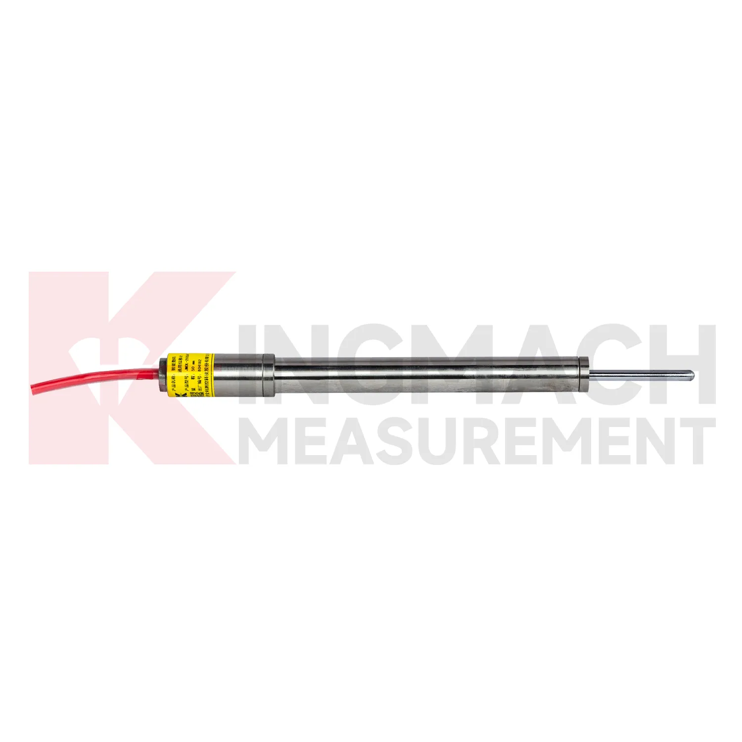
Smart General-Purpose Displacement MeterJMDL-21XXAT
View Details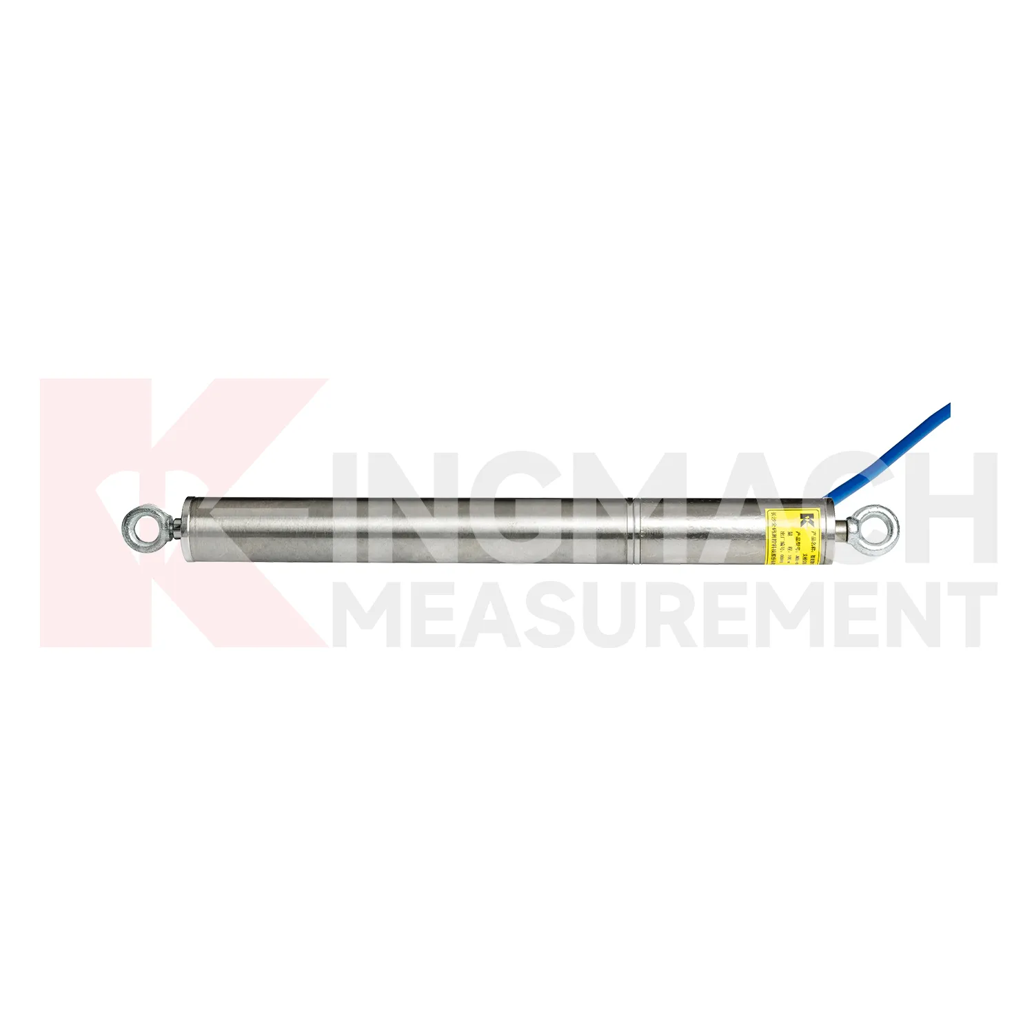
Smart Formwork Displacement Meter/ Steel Wire Displacement Meter JMDL-49XXAT
View DetailsFAQ
Under good satellite visibility, you can achieve horizontal accuracy of 5–10 mm and vertical accuracy around 10–15 mm using standard L1/L2 receivers. With RTK corrections or post-processing, sub-centimeter results are common. The exact precision depends on baseline length, multipath environment, and processing method. Kingmach helps configure the system to meet your project's accuracy requirements.
Most Kingmach stations use local data logging and can transmit via satellite modems or radio links when cellular networks are unavailable. The on-board storage holds months of data, so even if communication drops temporarily, no measurements are lost. Alarms can be configured to trigger SMS alerts directly from the station.
Dense foliage and steep terrain can block satellite signals, reducing accuracy or causing outages. In such cases, it's common to combine GPS with other sensors like total stations, tiltmeters, or crack meters. Kingmach's team can assess the site and suggest a hybrid monitoring approach if GPS alone isn't sufficient.
Routine maintenance mainly involves cleaning solar panels, checking cable connections, and verifying that vegetation hasn't grown to obstruct signals. The equipment is designed to operate for years with minimal intervention. Remote diagnostics help identify issues before they affect data quality, and Kingmach offers annual service contracts for inspections and recalibration.
A single station can typically be installed in a day once the concrete pillar or mount is ready, and data starts flowing as soon as power and communication are established. For larger networks, planning and site preparation take longer, but Kingmach's team provides guidance on pillar design, antenna mounting, and grounding to streamline the process.
Share your product type, target capacity, and application requirements. Our team can review the details and recommend a practical next step.
If you are interested in our products or want to become our partner.
Please leave your contact information, our team will contact you as soon as possible.
Mail: [email protected]
Contact Us: +8613808434127
Address: No. 188 Tongzipo West Rd, Changsha, Hunan, China